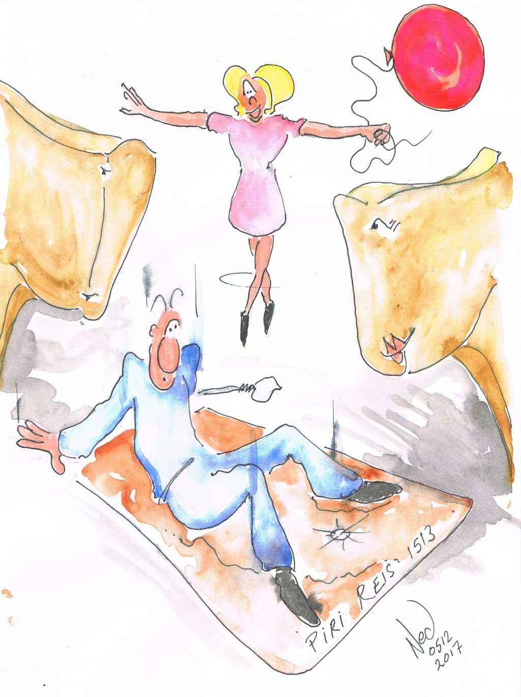
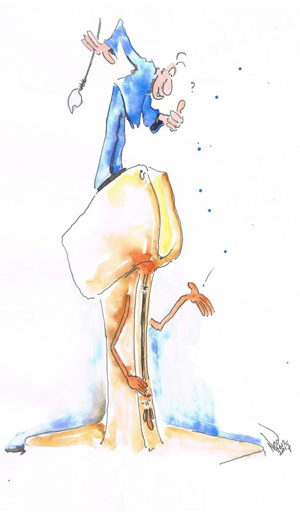
Arther landed safely, but significantly enough to mark the moment in his memory, if he cared to notice and learn the lesson. Ayşe gently followed him down.
Mr. T was amused, “You are sitting on America. Your feet are on Africa and Antarctica. I guess at least your bum’s not in the ocean.”
As if by further magic, Mrs. T had supplied a copy of the Ottoman era Piri Reis 1513 map as shared with the world in 1929 by Atatürk’s newly founded Turkish Republic. It indicated world features that were officially not known to us before Christopher Columbus discovered the Americas in 1492. Piri Reis left notes stating his map was based upon over 20 earlier source maps, some dating back to Alexander The Great. Did Columbus know of these earlier maps? Some say it’s all pseudo history while others claim it is significant evidence.
“Hmmm,” pondered Ayşe, “so, the question is when were humans travelling and navigating the world? Why are similar patterns found at different global locations dating pre-1492?”
Arther offered a contribution: “I once heard Jay Dyer and Dr. Joseph Farrell discuss a supposition that the real reason for the Crusades was to sack Constantinople and access the imperial archives and a secret cartographic tradition that showed the New World clearly.”
“It is at least exciting contemplating the possibilities.” Ayşe was eager to know more, and indeed, why not?
p.071


